Intelligence Modernization and Enterprise IT

Making data decision-ready.

Globe digital texture in the night sky
Arial view of construction site

Recent Updates

Company News
Royce Geo was recently selected by the National Geospatial Intelligence Agency (NGA) as...
Press Release
CURVE Operational Environment Demonstrates Automated Remote Sensing, Object Detection,...
Blog
Analytics applied to remotely sensed AIS vessel broadcasts and satellite imagery can answer...
Press Release
The multi-award IDIQ contract will deliver mission-critical services to U.S. DOD, Intelligence...
Media Coverage
In Navy experiment, commercial satellites serve as key weapons against drug trafficke...
Case Study
In the post-Global War on Terrorism (GWOT) environment, China, Russia, and other nation-state...
Blog
We are proud to announce that Royce Geo has been named a finalist for the Small and Emerging...
Blog
Chief Information Officer - Solutions and Partners 4 (CIO-SP4) provides US Government...
Press Release
Effort Will Deliver Data Analysis, Visualization, and Intelligence Capabilities to Advance...

We put advanced capabilities into the hands of today’s warfighters and prepare mission leaders for tomorrow’s challenges.

Meet your mission. Force multiply your impact.

Royce Geo gives mission decision-makers what they need in time to act — placing them ahead of the curve with confidence.

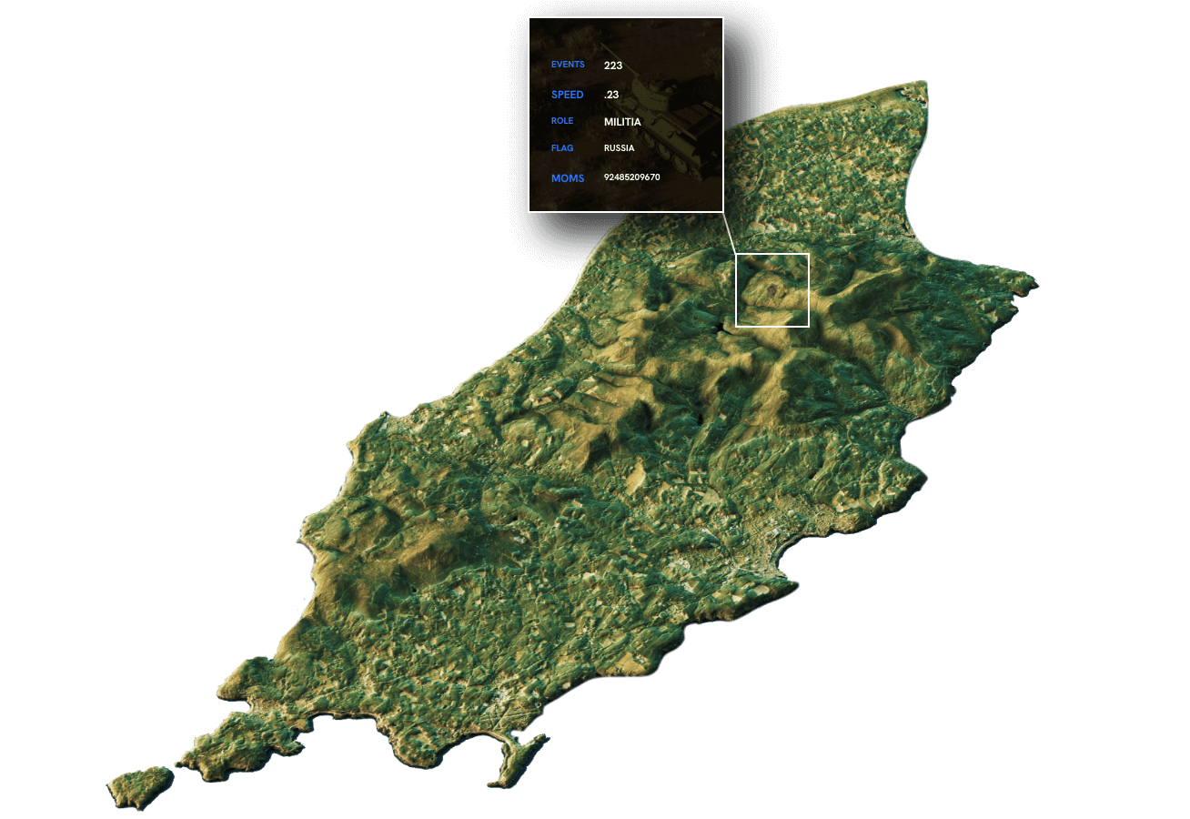
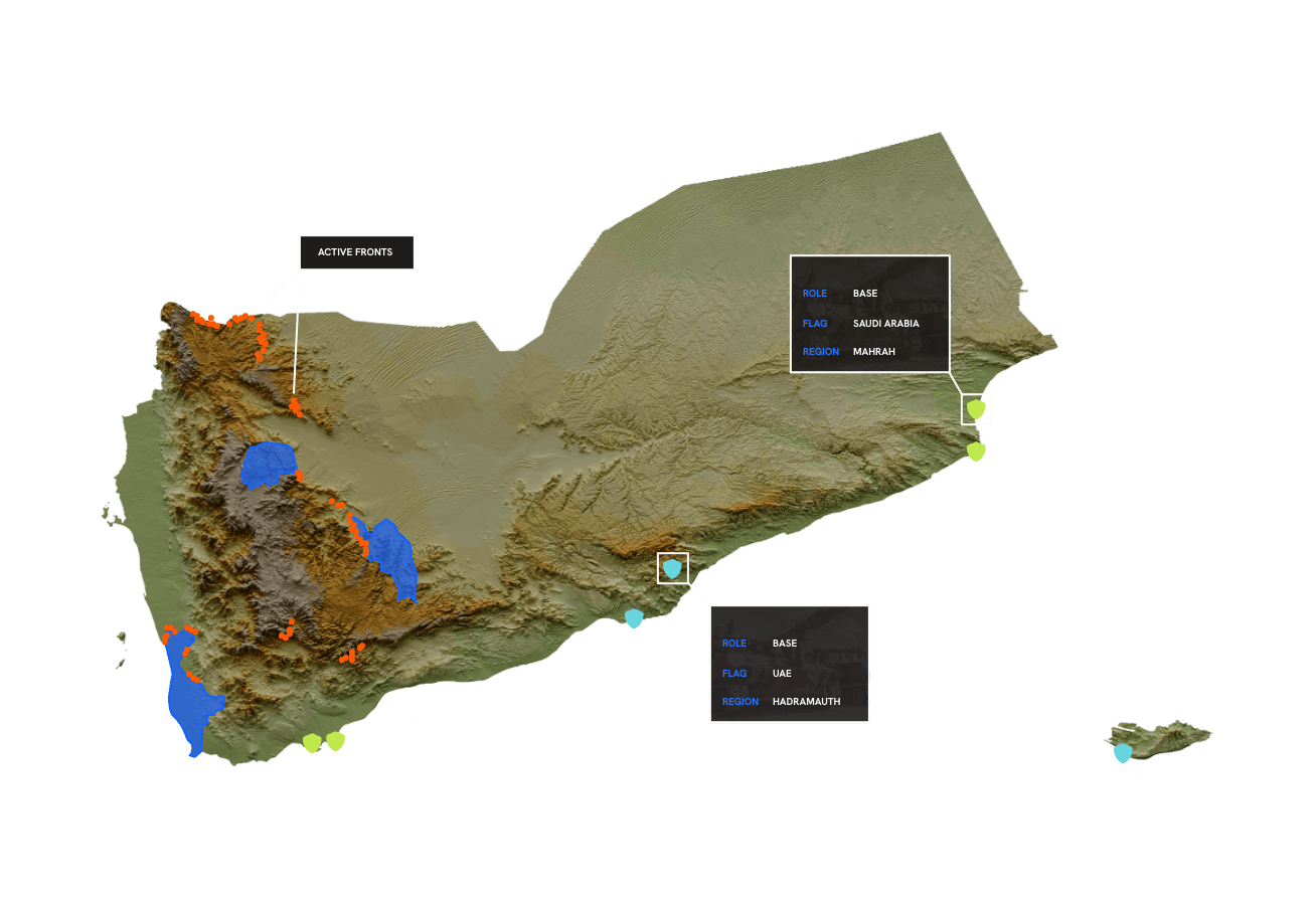
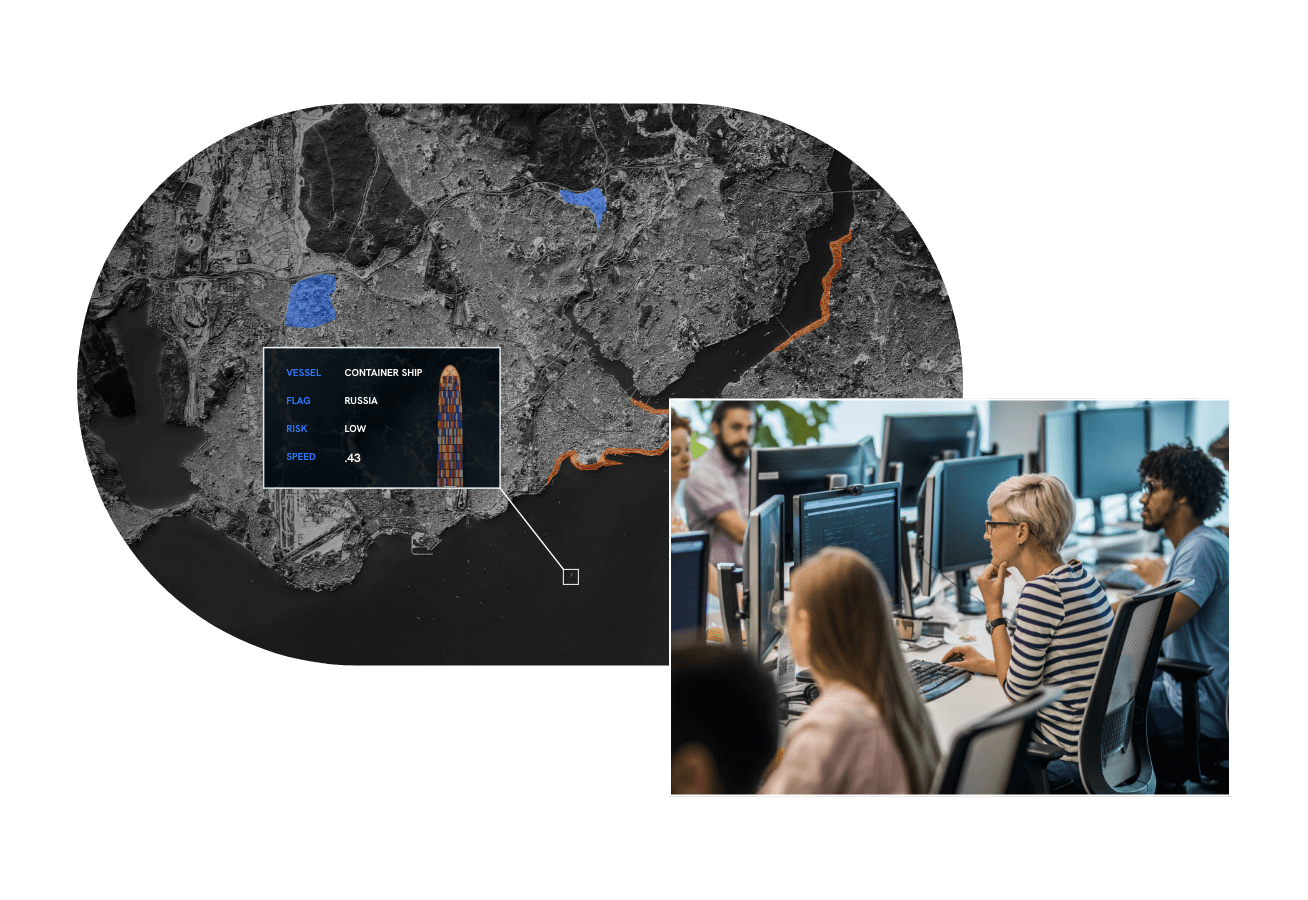
The U.S. Department of Defense uses our leading-edge cloud solutions to unify its data streams across GEOINT, SIGINT, HUMINT, OSINT, and cyber, to close the intelligence gap and make their data decision-ready.

Get to know the people behind the mission.

Man looking at computer with a contemplating look on his face
Geoint Technical Lead, Royce Geo
Jesse H.

“Royce Geo is a fast-growing small business and has the best employee-centric environment that I have ever been a part of. During my time with Royce Geo, I have had several different opportunities to advance my career and expertise, each with more challenging responsibilities than the last. Most importantly the employees that work under my leadership, and my peers, are highly vetted professionals and viewed as industry leaders in our respective areas.”

Join Our Award-Winning Team

Want to see what a career with Royce Geo is like?

The Royce Geo Advantage

Real-Time
Information

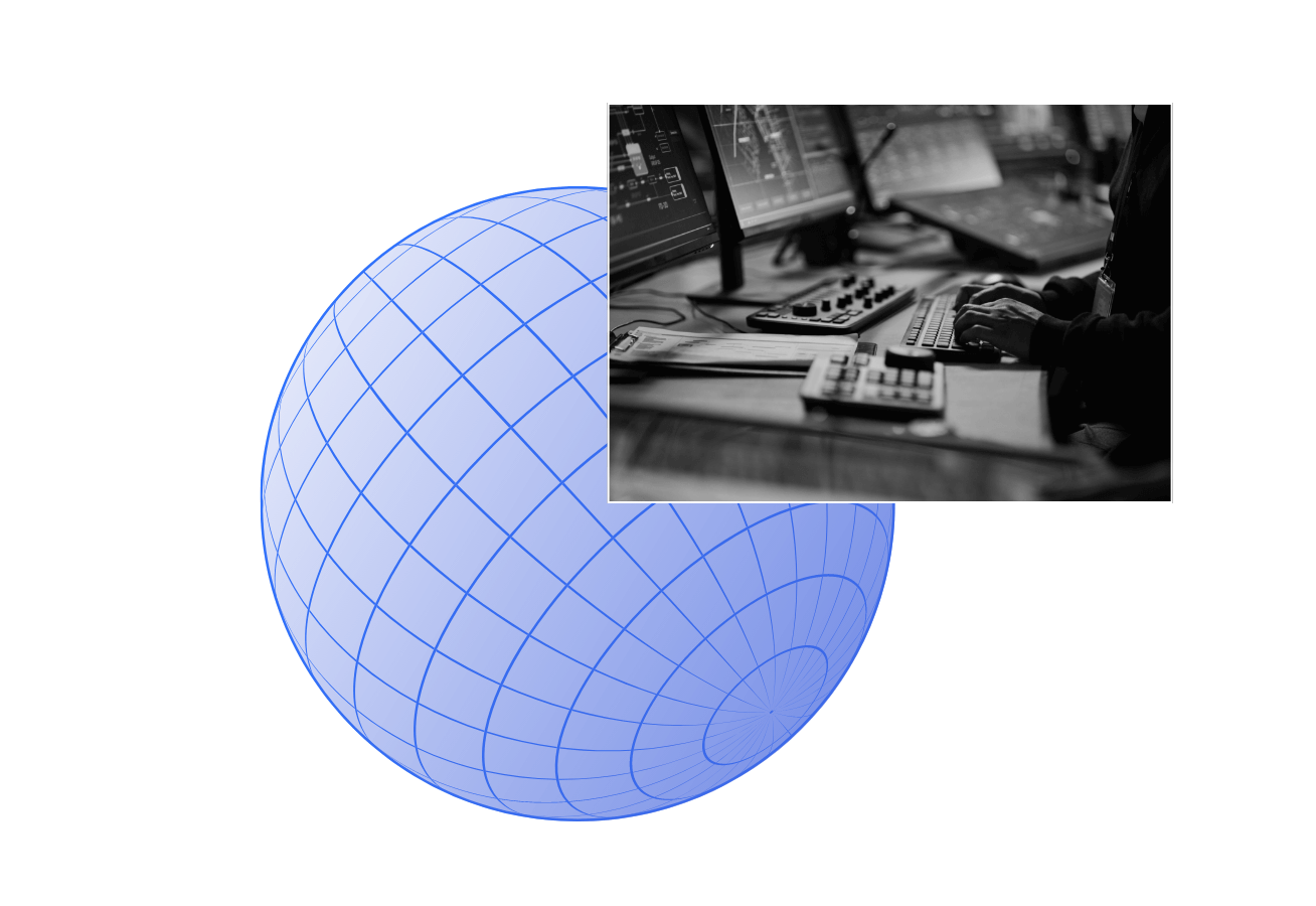
Get information into the hands of those who need it, wherever they are, immediately.

Actionable
Insights

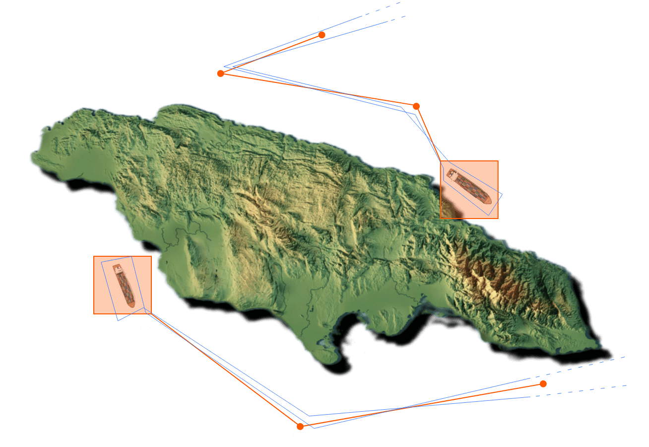
Enable visible, seizable opportunities with data fusion and advanced analytics.

Proven
Tradecraft

Build work from leading-edge intelligence tradecraft, tech, and training.

Close
Intelligence Gaps

Fuse commercial, tactical, and national data to protect against any threat.

Artistic visualization of Curve OE detecting high risk vessels

CURVE OE

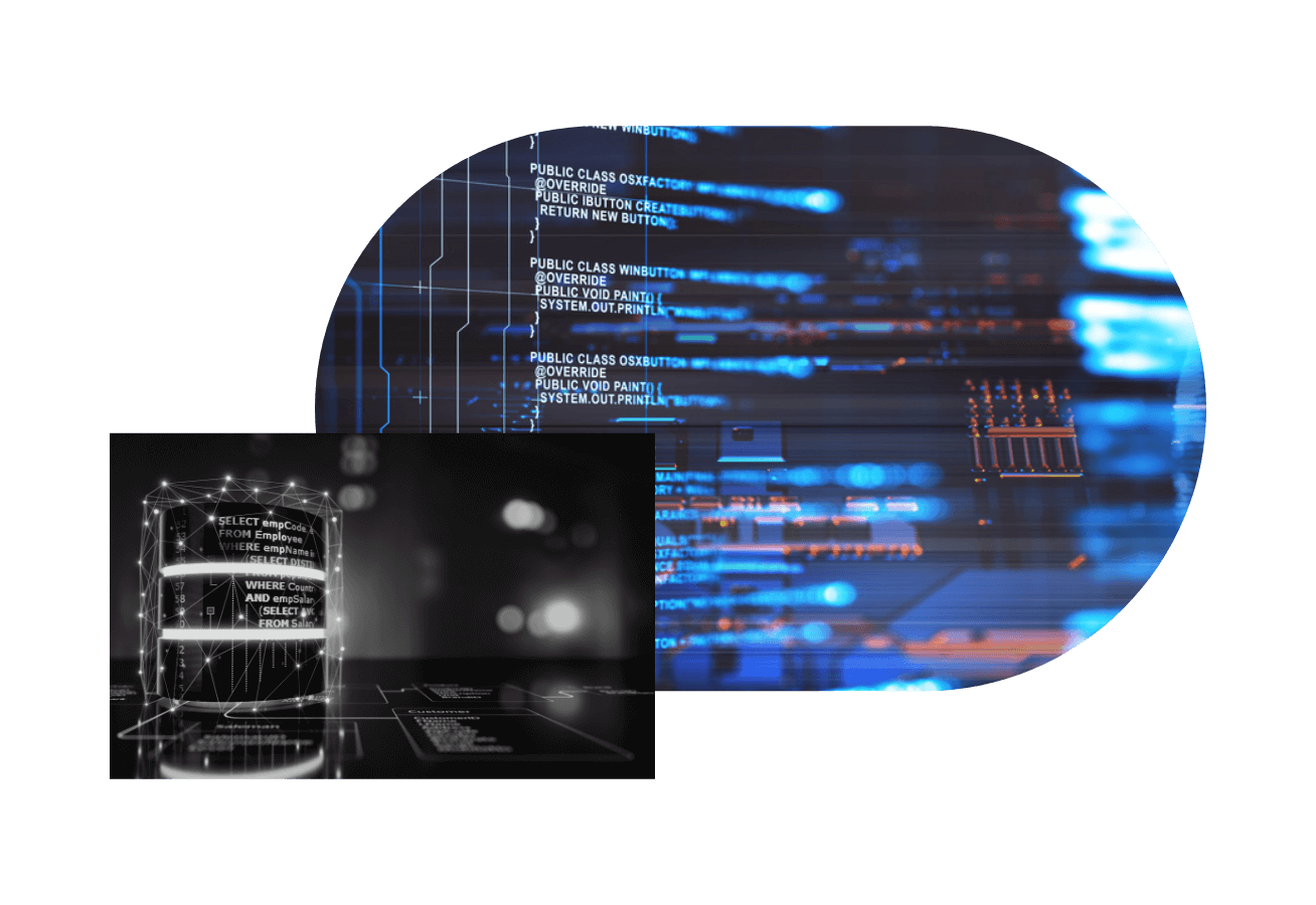
An intelligence modernization environment purpose-built to see around analytical bends. Ingest, analyze, visualize, and stream commercial data and technical assets to desktop ELT and edge devices in real time.

Advanced Analytics
Intelligence Modernization
Enterprise IT Operations
Expeditionary Mission Support
ADAPT Training
SPEAR

Advanced Analytics

Immediate insight that’s ready for action
Terrain map with data points

Intelligence Modernization

Navigate today and draw maps to the future
Terrain map with data points

Enterprise IT Operations

Deliver proactive digital operations
Digital texture

Expeditionary Mission Support

Superior mission analytics support
Digital globe texture with person working on a computer

ADAPT Training

Advance the mission in every moment
People in a ADAPT training with a arial terrain view of globe

SPEAR

Detect and deploy maritime operations at mission speed
Terrain map with data points

Do more than
just defend. Prevail.

Let’s work together to deliver impact-creating intelligence — ahead of the curve.