
© Copyright 2023 Royce Geo All rights reserved

Combining Advanced Analytics and Training at Mission Speed
Royce Geo’s innovations are born of need and designed to support the modern warfighter. They are forged from an intimate understanding of customer missions and decades of tactical and strategic experience. Each system is expertly designed to integrate the most challenging and complex intelligence missions to enable operational support across the analysis spectrum.
This fusion of understanding, expertise, and technological capability delivers innovative solutions with mission-driven results.
A complete picture of your data
Royce Geo has a finger on the pulse for IC and DoD technology needs and can deliver complete solutions that take your mission further. While other organizations can help with a piece of the puzzle, our holistic solutions create a complete picture to solve any data challenge.
Recent Updates

April 23, 2024
Entrepreneur Of The Year celebrates ambitious entrepreneurs who are shaping the future...

February 27, 2024
Our CEO, Dave Sterling, joined the Burn Bag podcast to discuss the power of geospatial...
February 5, 2024
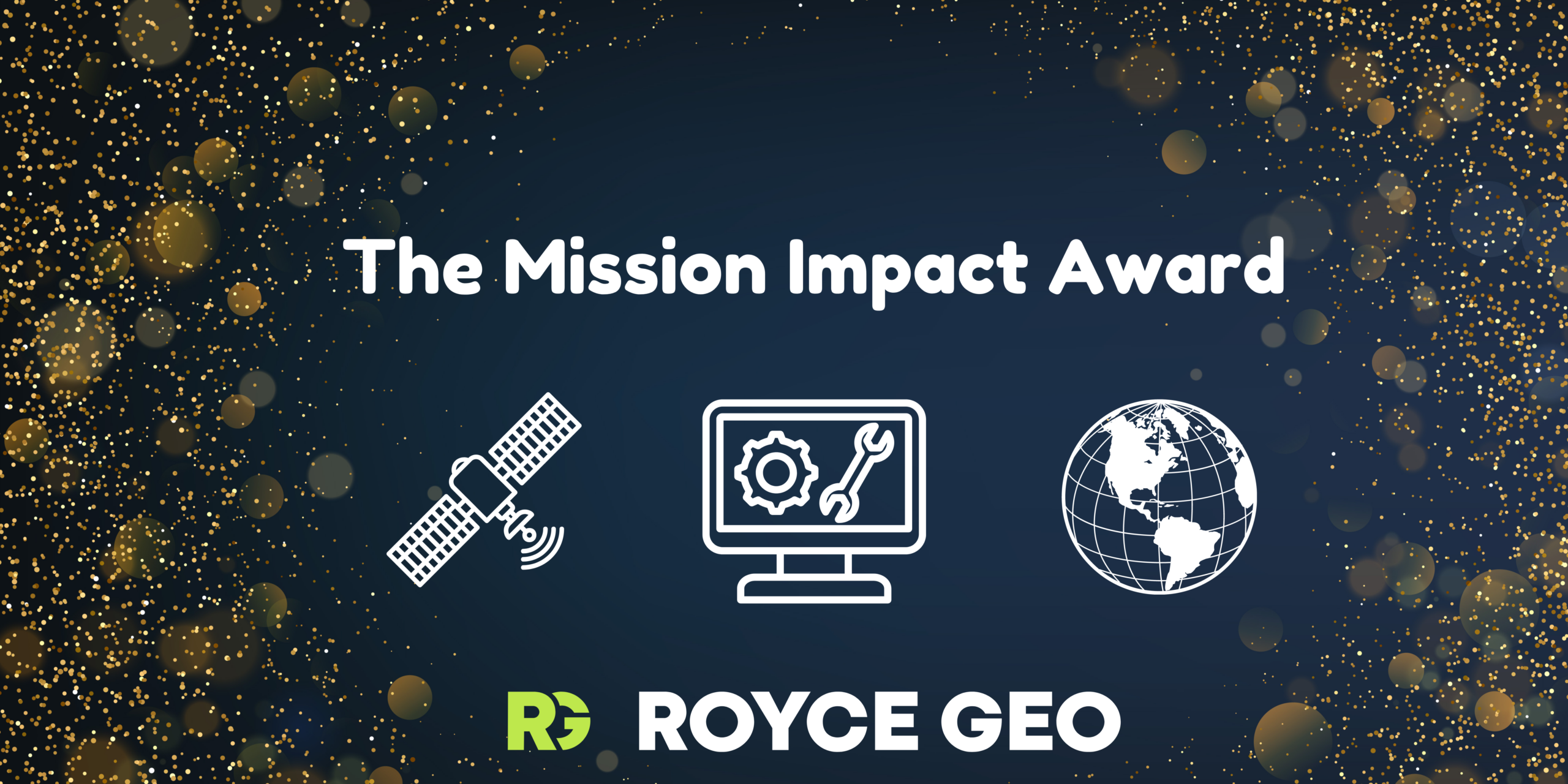
We are thrilled to present Dave Rabrun with the inaugural Royce Geo Mission Impact Award,...

January 24, 2024
We are thrilled to announce our partnership with Hiring Our Heroes (HOH) at Royce Geo....

December 19, 2023
Dave Sterling, CEO of Royce Geo, sat down with N2K Space’s podcast, “t-minus...

December 7, 2023
Royce Geo CEO, Dave Sterling, joined The Startup Defense podcast with host Callye...
October 24, 2023
National Geospatial-Intelligence Agency (NGA) selects Royce Geo for first Task Order under...

October 3, 2023
Last Saturday, Royce Geo held its annual fall party at the scenic 2 Silos Brewery in Manassas,...